November 12
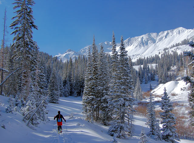
Knowing that Alta would be a complete mad house with a bluebird following a storm day, we returned once again to Cardiff.
Cool temperatures throughout the day preserved the snow and limited wet activity.
There was about 6 inches new snow at the 7'000 foot level increasing to 10-12 inches near the ridges.

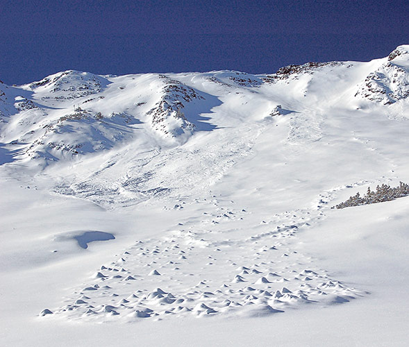
There were a couple of slide cycles in the last two days. The bigger slide is the result of Saturday's warm temperatures and strong south winds. The total storm snow covers the debris pile and the chunks indicate the heat caused a wet slide.

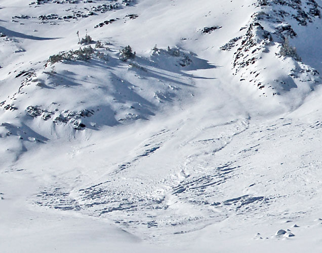
A zoomed view of the looker's left pocket reveals a crown in the choke, upper center of picture. This slide is new snow only running on the crust formed from warm temps and south winds.

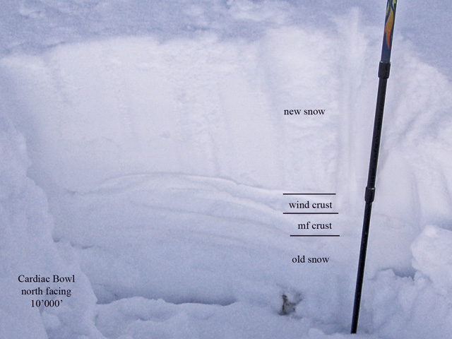
A snow pit done just below the exit of the two chutes in Cardiac bowl.

Total snow pack is around 2'. New snow at the the location is 12-13 ". A wind crust directly below the new with an inch or less of settled snow, then another melt freeze? crust. The snow below that had two more crusts interspersed with old and damp snow. Shear testing eventually produced a shear at the new snow crust interface, requiring some work. No other shears.
Concerns based on the latest weather forecast would be another round of wind drifting from predicted pre frontal winds. Those could once again overload the snow above the crust producing somewhat larger slides.
The snow above the bowls of both Cardiac ridge and Cardiac bowl is quite shallow. Loading of that shallow snow, likely faceted, could produce new snow slides, which when hitting the deeper snow below may generate enough punch to create a larger wider slide into deeper layers.
© wowasatch.com